Voyager and Esri: Built to Work Together
Introduction
Everyone in your organization depends on the map. But maps don't contain everything — and the gap between what ArcGIS shows and what your teams actually need to act on is where decisions slow down. That's the problem Voyager is built to close.
Date
05.13.26
Author
Voyager Content Team
Type
Insights
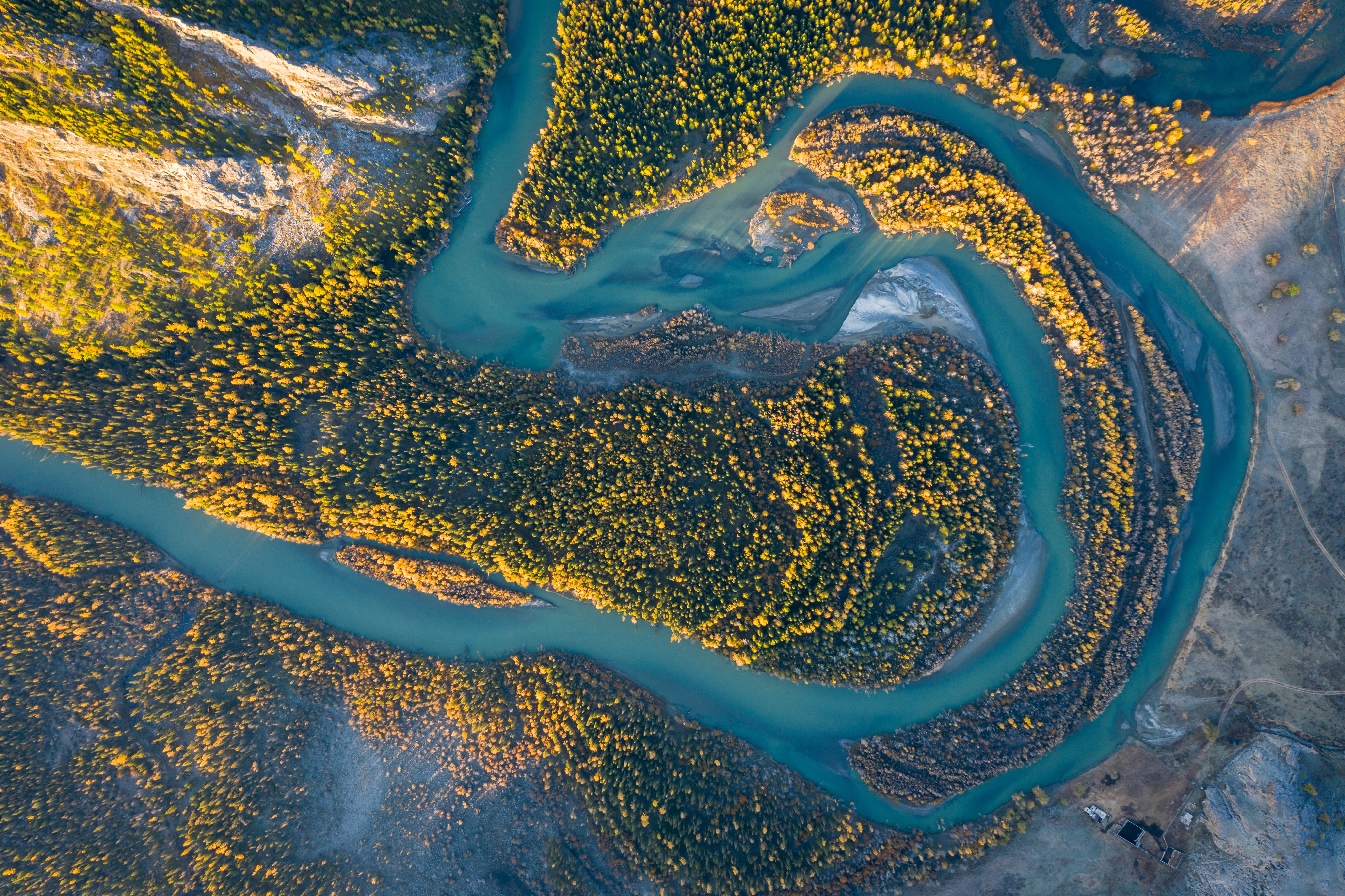
If you work in state government, transportation, natural resources, or emergency management, ArcGIS is probably already central to how your organization manages and visualizes spatial data. It's the authoritative system for a reason — it's powerful, widely adopted, and deeply embedded in the workflows of GIS professionals across nearly every sector.
So when organizations come across Voyager, the first question is almost always some version of: does this replace Esri?
The short answer is no. The longer answer is that the question itself points to a gap worth understanding — because the problem Voyager solves isn't a GIS problem. It's a cross-system context problem.
ArcGIS is the map. But decisions require more than the map.
Take a wildfire emergency operations center. GIS teams are producing fire spread models in ArcGIS. Meteorology is monitoring weather. Logistics is coordinating evacuation routes. Intelligence teams are tracking infrastructure impact. Command is trying to make decisions.
Everyone depends on the map. But no one lives only in the map.
When coordination breaks down in environments like this, it's rarely because the spatial data is wrong. It's because the right context — a report, a sensor feed, an imagery asset, an operational record — wasn't connected to the right place at the right time. Intelligence didn't see logistics data. Command couldn't trace a report back to its source. Context was lost across systems.
ArcGIS gives you spatial clarity. What it doesn't do — and was never designed to do — is retrieve and surface that cross-system context automatically.
That's the gap Voyager fills.
What Voyager does alongside ArcGIS
Voyager is the intelligence layer for geospatial and enterprise data. It connects to the data sources your organization already has — documents, reports, imagery archives, databases, operational systems, enterprise repositories — normalizes and enriches the metadata, and makes everything discoverable, governed, and AI-ready in one trusted retrieval layer.
In an Esri environment, that means a few specific things:
Voyager connects ArcGIS to the rest of your data ecosystem. ArcGIS features can be backed by full operational context — the documents, reports, and records that explain what's happening on the map, retrieved without centralizing or migrating anything.
Voyager ships with Esri integrations out of the box. Including an ArcGIS Pro plugin, so GIS teams work within familiar tools. Customers can use Voyager to populate ArcGIS Enterprise and Pro/desktop environments with enriched, discoverable data from across their stack.
Voyager preserves provenance and source trust. In multi-agency environments, knowing where something came from — and being able to show it — matters as much as finding it. Voyager captures lineage automatically and surfaces citations alongside results, so every retrieved answer is traceable and explainable, not just returned.
Voyager works across security boundaries without moving data. For state agencies and natural resource organizations managing data across departments, systems, and partners, this matters. The data stays where it lives. Voyager makes it findable from wherever you need it.
Voyager normalizes and enriches metadata automatically. As data flows through Voyager from connected sources, metadata is captured, standardized, and enriched — so what arrives in ArcGIS or surfaces in search results is consistent, trustworthy, and ready for AI and analytics workflows, not just human discovery.
Where Voyager fits in an Esri environment
The organizations that get the most out of Voyager are usually the ones already running mature Esri environments. They've invested in ArcGIS. Their GIS teams know it well. They're not looking to replace it — they're looking to extend it.
What they're typically running into is the boundary where ArcGIS ends and the rest of their data ecosystem begins. Reports that can't be searched. Imagery that exists but can't be found. Operational records that live in a separate system and never make it into the decision-making workflow. Documents that reference a feature on the map but have no connection to it.
Voyager is the connective tissue between those systems and ArcGIS — making the stack more intelligent without making it bigger or more complex to manage. It ensures that every spatial feature your GIS team manages is backed by the full context the rest of your organization depends on.
ArcGIS is the spatial system of record. Voyager is the cross-system retrieval and intelligence layer. Together, they give teams a more complete operational picture — without requiring anyone to change the tools they already use or centralize data they can't centralize.
For teams evaluating both
If you're a GIS lead or platform architect evaluating Voyager alongside an existing Esri investment, the question to ask isn't "which one do we use?" It's "what does our team spend time hunting for that ArcGIS alone can't surface?"
If the answer is nothing, and your team can find every document, report, imagery asset, and operational record they need, traced to its source, from within their current workflow, then you may not need Voyager yet.
If the answer is a list — and for most organizations it is — that's exactly what Voyager is built to solve.
We're longtime Esri partners. Our team includes people who know the Esri product suite well. And our platform is built to work alongside ArcGIS, not around it. And as organizations begin moving toward AI-assisted workflows, having metadata that's normalized, governed, and retrievable across systems isn't optional — it's the foundation those workflows depend on. Voyager gets that foundation in place without disrupting what's already working.
If you're curious what that looks like in practice for your environment, we're happy to walk through it.
start a conversation
