TRANSPORTATION / STATE DOTS
Construction drawings, inspection reports, survey data and right-of-way files sit across dozens of systems and shared drives. Voyager finds, indexes and enriches them in place, so engineers and planners can search by corridor, structure or parcel. No migration required.

Trusted by leaders in transportation


What can a State DOT do with Voyager?
CORRIDOR / US 41 MP 14.2 to 21.8
Project history
DWG
Original construction plans
212 sheets · scanned and CAD
1968
Resurfacing as-builts
38 sheets · District archive
2004
GPS
Topographic survey
Point cloud and control
2017
Preliminary design study
Report and appendices
2021
PLANNING AND DESIGN
Start every project with its full history
Search by corridor, milepost or county and see every construction drawing, as-built, survey and prior design plan tied to that location. Scoping teams stop rebuilding what the agency already has.
Construction drawings
CAD
Survey data
INSPECTION AND ASSET MANAGEMENT
See every record behind an asset
Inspection reports, photos, load ratings and repair drawings stay in the systems that created them. Voyager links them to the structure, culvert or segment they describe, so one search returns the whole record.
Inspection reports
Imagery
GPS field data
STRUCTURE
Bridge 41-0418
Two-span steel girder over Mill Creek
Linked records
47
Formats
PDF, DWG, JPG
Source systems
4
Routine inspection report
2024 · PDF · 26 pages
Deck condition photos
2024 · 112 images
Load rating analysis
2021 · PDF
Bearing repair drawings
2018 · DWG · 9 sheets
PARCEL 0418-112
DRAINAGE EASEMENT
EASEMENT / RECORDED 1987
Drainage easement, Parcel 0418-112
Scanned deed, 6 pages. Linked to ROW plan sheet 14.
RIGHT-OF-WAY AND UTILITIES
Clear right-of-way with the paperwork in hand
Easements, deeds, ROW plans and utility agreements are often scanned documents with no coordinates. Voyager extracts the spatial context from them, so a parcel search returns the documents that govern it.
Easements
Right-of-way plans
Scanned PDFs
Your records already exist. Make them findable.
Find it. Enrich it. Use it.
01 / FIND IT
Connect to what you have
Voyager connects to the systems and shared drives where your records already live and builds a catalog of what is there. Nothing moves.
02 / ENRICH IT
Add the spatial context
Voyager extracts locations, metadata and relationships from drawings, reports and scanned documents, so files without coordinates become searchable by place.
03 / USE IT
Search from where you work
Teams can search by corridor, asset or parcel in Voyager, in ArcGIS Pro, or through APIs that feed the applications and AI tools your agency builds.
Indexes the formats DOTs actually keep
Structured and unstructured spatial data, read where it lives.
One search across all of it.
DWG / DGN
CAD drawings
Construction plans
Inspection reports
GPS
Survey and field data
PDF / TIFF
Easements and ROW
GeoTIFF
Imagery
LAS / LAZ
LiDAR
SHP / GDB
Vector data
PLUGIN
ArcGIS Pro
API
Custom applications
Proven at statewide scale
documents indexed for a single state DOT — and growing
Frequently asked questions
Do we have to migrate our data?
No migration required. Voyager indexes records in place.
What kinds of records can Voyager index?
Construction drawings, inspection reports, survey data, imagery, easements and other structured and unstructured spatial records.
Does Voyager replace our GIS?
No. Voyager connects your data with the applications your teams already use.
How does Voyager handle access and security?
Voyager can preserve existing permissions across connected systems with built-in cross-system authentication. Our team works with your agency to solve complex access requirements without loosening security controls.
How long does it take to get started?
Talk with our team to scope your systems, data and deployment requirements.
More DOT workflows

Maintenance and operations
Pull work history, prior repairs and drawings for a segment before crews roll.

Environmental review
Gather prior studies, permits and field surveys inside a project footprint.
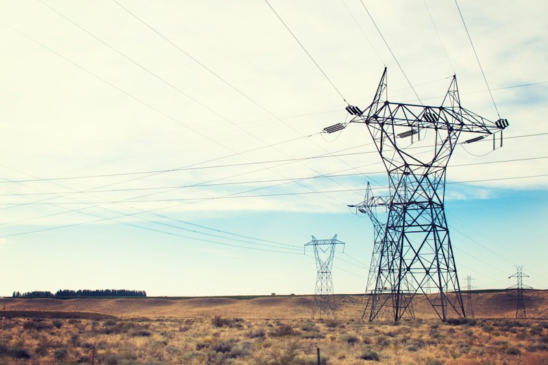
Utility coordination
Find agreements, relocation plans and as-builts along a corridor.

Transportation asset management
Tie condition records and documents to assets for TAMP reporting.
Insights for transportation teams


Find the records your next project depends on.
See Voyager running against the kinds of drawings, reports and field data your agency keeps today.